
Keynoters
Our keynoters from diverse fields will enrich FOSS4G 2015 Seoul with our theme ‘Toward Diversity, FOSS4G Big Bang from Seoul.’ We’ve invited several key speakers with new insights from government, industry, academia and NGOs not only from Korea but from all around the world. Their unique perspectives on openness and geospatial areas could provoke our imagination and will bring us new views toward our world.
Byungnam Choe President of Korea National Geographic Information Institute Dr. Choe is the first confirmed keynote speaker at FOSS4G 2015 Seoul. He is the president of Korea National Geographic Information Institute(NGII), a national mapping authority in charge of surveying and mapping whole Korea. He will talk about NGII’s vision toward openness and international cooperation.
Kyoung-Soo Eom Chief of United Nations Geospatial Information Section (formerly UN Cartographic Section). Mr. Kyoung-Soo Eom is the Chief of United Nations Geospatial Information Section (formerly UN Cartographic Section), UN Headquarters in New York. He will give a keynote speech about UN’s views, plans toward open source GIS at FOSS4G 2015 Seoul. Also he will talk about UN Geospatial Information Section’s mission, vision and activities through general oral presentation session.
Paul Ramsey Solutions Architect at Cartodb. He has been working with geospatial software for over a decade: consulting to government and industry; building a geospatial software company; and programming on open source. He founded the PostGIS spatial database project in 2001, and is currently an active developer and member of the project steering committee. In 2008, Paul received the Sol Katz Award for achievement in open source geospatial software. Paul speaks and teaches regularly at conferences around the world.
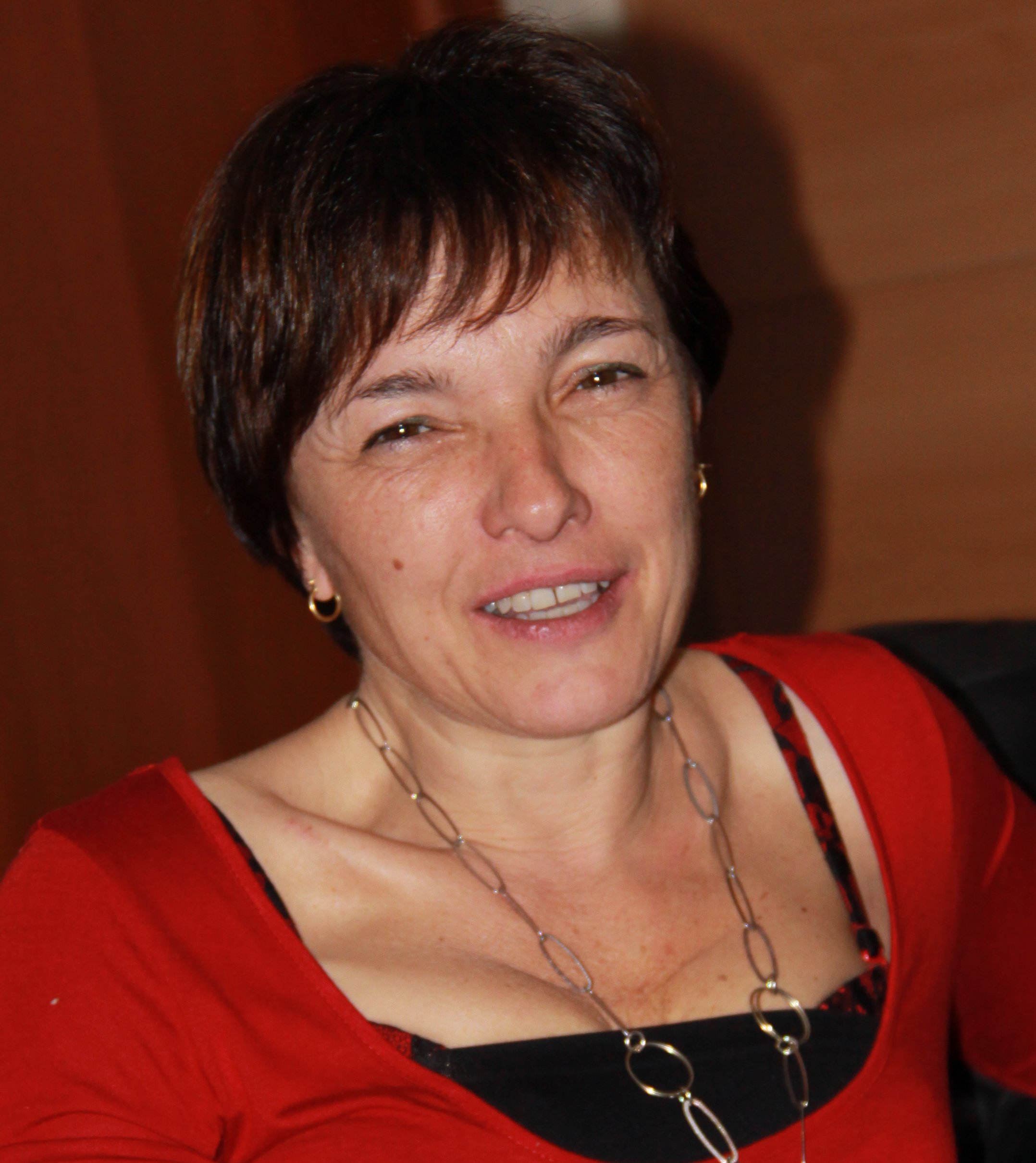
Maria Antonia Brovelli Professor of GIS and Vice Rector for the Como Campus at Politecnico di Milano Member of the Advisory Board of GeoForAll, co-chair of ISPRS WG IV/5 “Web and Cloud Based Geospatial Services and Applications”, Conference Chair of FOSS4G Europe 2015. She organized in Como (Italy) in 2000 the First GRASS User Meeting and was in the Organizing Committee of the First International Open Source Free Software GIS – GRASS users conference held in 2002 in Trento (Italy). She will talk about how Geo Big Data matters to the FOSS4G Community.
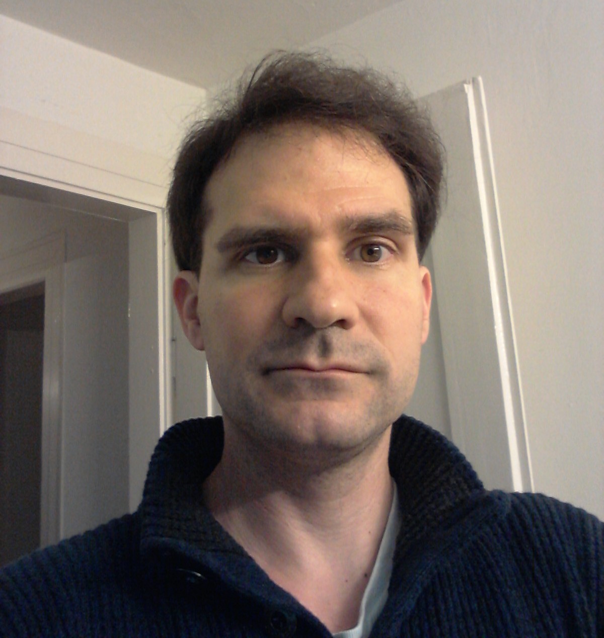
Marco Hugentobler Managing Director at Sourcepole Dr. Marco Hugentobler is a QGIS developer since 2003 and member of the Project Steering Committee. He will talk about the QGIS project and its evolution from a desktop GIS to a GIS platform.
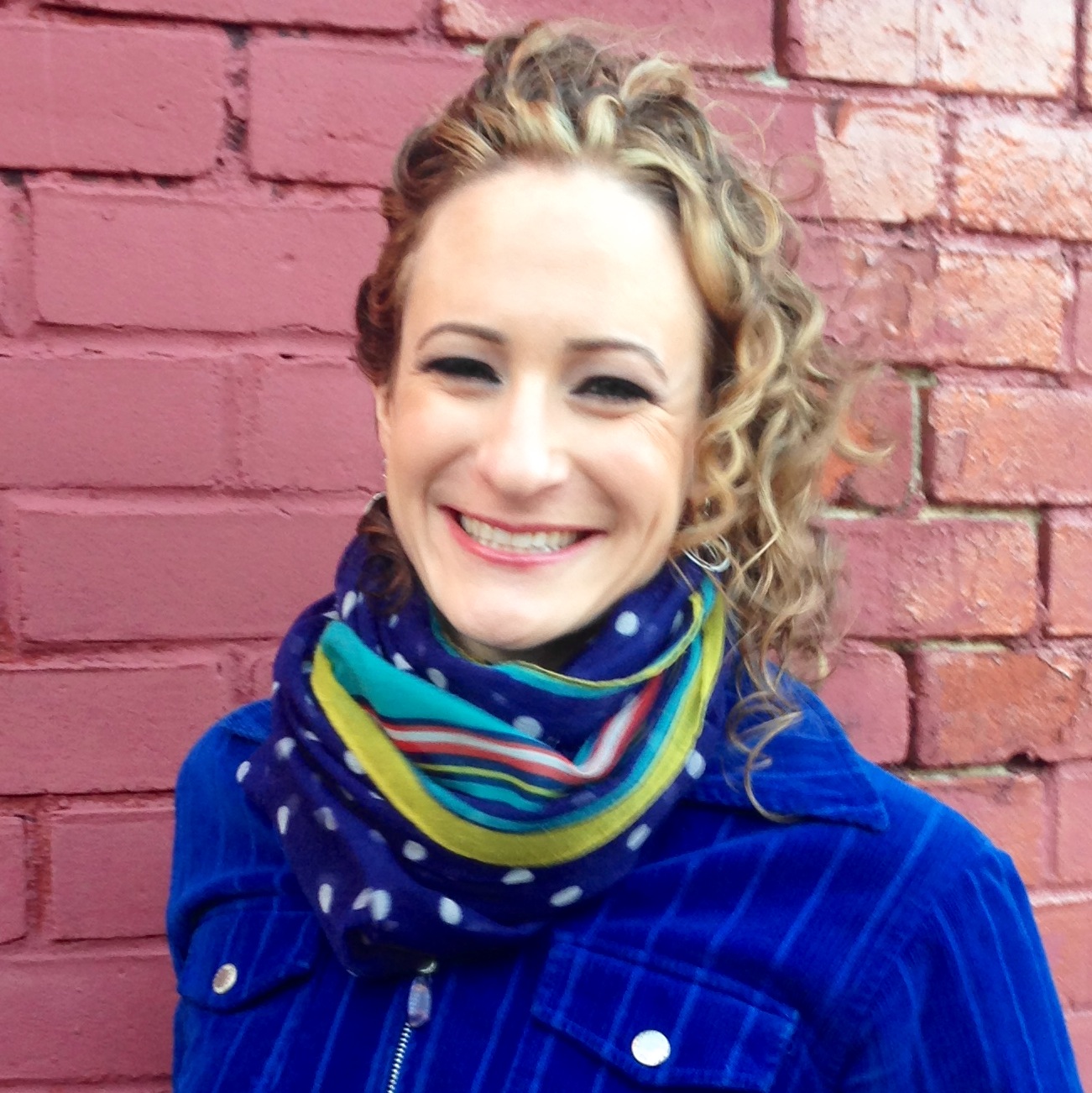
Alyssa Wright Vice President at Mapzen Alyssa Wright works at the intersection of open technology, cultural diversity, and mapping. As Vice President of Partnerships and Business Development at Mapzen she leads community initiatives to bring the open mapping capabilities to organizations of all types. Based out of the Samsung Accelerator, Mapzen is working towards a healthy mapping ecosystem that extends beyond the United States to Korea and beyond. Alyssa is also the president of the US OpenStreetMap board, an organization dedicated to preserving the health and growth of the world’s premiere open geo database. Alyssa will speak about diversity in open mapping and how we all can contribute to this space.
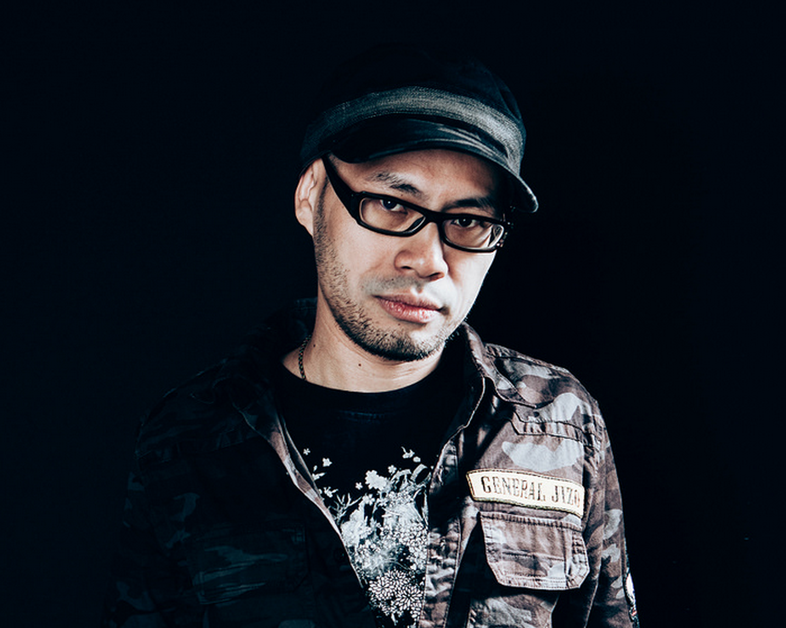
Kuo-Yu Chuang Delegate of Open Geospatial Consortium (OGC) Kuo-Yu Chuang (a.k.a. slayer) focuses on Location-Based Service (LBS) for years and works with Communities, NGOs, and Government Agencies on disaster response and information coordination. He is the chair of OGC Open GeoSMS SWG and the charter member of OGC KML 2.3. Together with the efforts by the team from OGC and GeoThings, the Open GeoSMS standard is not only recommended by ITU (Q.3615), but also contributed to Ushahidi and Sahana platform for emergency and disaster response.
In his keynote, he will speak about relationship/differences between open data, open source and open standards.
Jeff McKenna President of OSGeo(Open Source Geospatial) In 2009 Jeff McKenna was named to the Board of Directors of the Open Source Geospatial Foundation (OSGeo), subsequently was named as the President of OSGeo in 2012, and was reelected in 2014. After helping organize a small event in Ottawa, Canada in 2004 for geospatial free software, Jeff attended FOSS4G 2004 in Bangkok, and would discuss with Markus Neteler and Venkatesh Raghavan about joining the MapServer and GRASS community events into a global FOSS4G event.
Jeff is very active in the MapServer community, and is a member of its Project Steering Committee. He also promotes the importance of education, through the GeoForAll initiative. Jeff operates a consulting company, Gateway Geomatics, along the beautiful coast in Lunenburg, Nova Scotia, Canada.
The title of Jeff’s talk will be: “Global Vision: The Open Source Geospatial Foundation.”
…